
پەڕگە:Vanuatu location map.svg

Size of this PNG preview of this SVG file: ٣٢٤ لە ٥٩٩ پیکسەڵ. ڕێزەلووشنەکانی تر: ١٣٠ لە ٢٤٠ پیکسەڵ | ٢٥٩ لە ٤٨٠ پیکسەڵ | ٤١٥ لە ٧٦٨ پیکسەڵ | ٥٥٣ لە ١٬٠٢٤ پیکسەڵ | ١٬١٠٧ لە ٢٬٠٤٨ پیکسەڵ | ٦٢٥ لە ١٬١٥٦ پیکسەڵ.
پەڕگەی سەرەکی (پەڕگەی SVG، بە ناو ٦٢٥ × ١٬١٥٦ پیکسەڵ، قەبارەی پەڕگە: ٧٩ کیلۆبایت)
کورتە
| Camera location | | View this and other nearby images on: OpenStreetMap |
|---|
| وەسف |
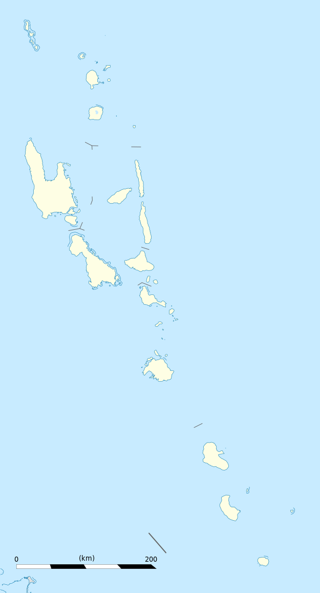
Equirectangular projection, WGS84 datum
Geographic limits of the map:
|
||
| ڕێکەوت | |||
| سەرچاوە |
بەرھەمی خۆم
|
||
| بەرھەمھێنەر | Eric Gaba (Sting - fr:Sting) | ||
| ڕێپێدان (بەکارھێنانەوەی ئەم پەڕگەیە) |
|
||
| وەشانەکانی تر |
|

مۆڵەتنامە
من، ھەڵگری مافی لەبەرگرتنەوەی ئەم بەرھەمە، لەژێر ئەم مۆڵەتنامەیانەدا بڵاوی دەکەمەوە:
ئەم پەڕگەیە لە ژێر مۆڵەتنامەی
Creative Commons Attribution-Share Alike 3.0 Unported دایە.
- تۆ ئازادی:
- بۆ بڵاکردنەوە – بۆ کۆپی کردن، دابەشکردن و دەستبەدەست ناردنی
- بۆ تێکەڵکردنەوە – بۆ سازاندنی کارەکە
- بەم مەرجانەی خوارەوە:
- دانەپاڵ – پێویستە باوەڕی گونجاو بدەیت، بەستەرێک بۆ مۆڵەتەکە دابین بکەیت و ئاماژە بەوە بکەیت کە ئایا گۆڕانکاری کراوە یان نا. دەتوانیت بە هەر شێوەیەکی گونجاو ئەوە بکەیت، بەڵام بە شێوەیەک نا کە وا دەربکەوێت کە مۆڵەتدەر پشتگیری تۆ یان بەکارهێنانەکەت بکات.
- بڵاوکردنەوەی گونجاو – ئەگەر لەسەر بنەمای ئەم کارە تێکەڵ، گۆڕان، یان ساز بکەی، پێویستە بەشدارییەکانت بە هەمان مۆڵەت یان هاوشێوەی مۆڵەتی ئەسڵی دابەش بکەی.

|
ڕێگەدراوە بە لەبەرگرتنەوە، دابەشکردن ھەروەھا/یان سازاندنی ئەم بەڵگەنامەیە لەژێر مەرجی مۆڵەتی GNU بۆ بەڵگەنامەی ئازاد، وەشانی ١.٢ یان ھەر وەشانێکی تری دواتر کە بڵاوکراوەتەوە لەلایەن دامەزراوەی بەرنامەی ئازاد، بەبێ ھیچ بەشێکی جیاواز، بەبێ نووسین لەسەر بەرگی پێشەوە و دواوەی. وێنەیەک لەمۆڵەتەکە لە بەشێکدا ھەیە کە ناوی مۆڵەتی GNU بۆ بەڵگەنامەی ئازادە. |
دەتوانی مۆڵەتنامەی دڵخوازت ھەڵبژێریت.
مێژووی پەڕگە
کرتە بکە لەسەر یەکێک لە ڕێکەوت/کاتەکان بۆ بینینی پەڕگەکە بەو شێوەی لەو کاتەدا بووە.
| ڕێکەوت/کات | ھێما | ئەندازە | بەکارھێنەر | تێبینی | |
|---|---|---|---|---|---|
| هەنووکە | ١٩:٠٢، ٢١ی تشرینی یەکەمی ٢٠١٣ | | ٦٢٥ لە ١٬١٥٦ (٧٩ کیلۆبایت) | TUBS | +provincial seaborders and matching int'l maritime borders |
| ٢٢:١٢، ٢١ی کانوونی دووەمی ٢٠٠٩ |  | ٦٢٥ لە ١٬١٥٦ (١٣٤ کیلۆبایت) | Sting | == Summary == {{Location|16|42|00|S|168|24|00|E|scale:3000000}} <br/> {{Information |Description={{en|Blank administrative map of Vanuatu in Oceania, for geo-location purposes.}} {{fr|Carte administrative vierge de [[:fr:Va |
بەکارھێنانی پەڕگە
ئەم پەڕەیە ئەم پەڕگەیە بەکار دەھێنێت:
بەکارھێنانی سەرانسەریی پەڕگە
ئەم ویکیانەی دیکەی خوارەوەش ئەم پەڕگە بەکاردێنن:
- بەکارھێنان لە af.wikipedia.org
- بەکارھێنان لە an.wikipedia.org
- بەکارھێنان لە ar.wikipedia.org
- بەکارھێنان لە ast.wikipedia.org
- Puertu Villa
- Módulu:Mapa de llocalización/datos/Vanuatu
- Módulu:Mapa de llocalización/datos/Vanuatu/usu
- Aeropuertu Internacional Bauerfield
- Aeropuertu Internacional de Santo-Pekoa
- Malakula
- Aore
- Luganville (Vanuatu)
- Monte Tabwemasana
- Maewo
- Erromango
- Islla de Pentecostés
- Aneityum
- Vanua Lava
- Islla Epi
- Ambae
- Gaua
- Efate
- Islla Espíritu Santo (Vanuatu)
- Ambrym
- Islla Tanna
- بەکارھێنان لە az.wikipedia.org
- بەکارھێنان لە ba.wikipedia.org
- بەکارھێنان لە be-tarask.wikipedia.org
- بەکارھێنان لە be.wikipedia.org
- بەکارھێنان لە bg.wikipedia.org
- بەکارھێنان لە bn.wikipedia.org
- بەکارھێنان لە bs.wikipedia.org
- بەکارھێنان لە ceb.wikipedia.org
بینینی بەکارھێنانی گشتی زیاتری ئەم پەڕگەیە.