
پەڕگە:San Jose California aerial view south.jpg
قەبارەی ئەم پێشبینینە: ٨٠٠ لە ٥٣٣ پیکسەڵ. ڕێزەلووشنەکانی تر: ٣٢٠ لە ٢١٣ پیکسەڵ | ٦٤٠ لە ٤٢٧ پیکسەڵ | ١٬٠٢٤ لە ٦٨٣ پیکسەڵ | ١٬٥٠٠ لە ١٬٠٠٠ پیکسەڵ.
پەڕگەی سەرەکی (١٬٥٠٠ × ١٬٠٠٠ پیکسڵ، قەبارەی پەڕگە: ٧٨٥ کیلۆبایت، جۆری ئێم ئای ئێم ئی: image/jpeg)
| وەسف |
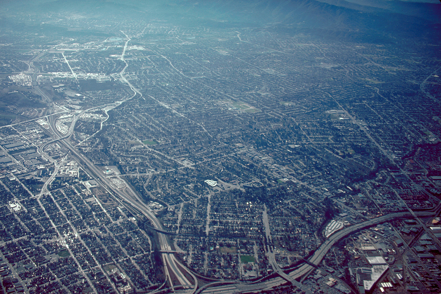
English: Aerial view of San José, California, USA. The intersection of Interstate-280 and California State Route 87 (Guadalupe Parkway) is visible at the bottom of the photograph. View is to the south.
Coordinates: 37°19′7.84″N 121°53′35.92″W / 37.3188444°N 121.8933111°W |
||
| ڕێکەوت | not specified or unknown | ||
| سەرچاوە |
U.S. Army Corps of Engineers Digital Visual Library Image page Image description page Digital Visual Library home page |
||
| بەرھەمھێنەر | Robert Campbell | ||
| ڕێپێدان (بەکارھێنانەوەی ئەم پەڕگەیە) |
ئەم پەڕگەیە لە ژێر مۆڵەتنامەی
Creative Commons Attribution-Share Alike 3.0 Unported دایە.
|
||
| Location | San José, California, USA |

مێژووی پەڕگە
کرتە بکە لەسەر یەکێک لە ڕێکەوت/کاتەکان بۆ بینینی پەڕگەکە بەو شێوەی لەو کاتەدا بووە.
| ڕێکەوت/کات | ھێما | ئەندازە | بەکارھێنەر | تێبینی | |
|---|---|---|---|---|---|
| هەنووکە | ٠٥:٠٤، ٣ی ئایاری ٢٠٠٧ | | ١٬٥٠٠ لە ١٬٠٠٠ (٧٨٥ کیلۆبایت) | DanMS | {{Information | Description = {{en|Aerial view of San José, California, USA. The intersection of Interstate-280 and California State Route 87 (Guadalupe Parkway) is visible at the bottom of the photograph. View is to the south.}} Coordinates: {{Coor |
بەکارھێنانی پەڕگە
ئەم پەڕەیە ئەم پەڕگەیە بەکار دەھێنێت:
بەکارھێنانی سەرانسەریی پەڕگە
ئەم ویکیانەی دیکەی خوارەوەش ئەم پەڕگە بەکاردێنن:
- بەکارھێنان لە af.wikipedia.org
- بەکارھێنان لە ar.wikipedia.org
- بەکارھێنان لە en.wikibooks.org
- بەکارھێنان لە et.wikipedia.org
- بەکارھێنان لە fi.wikipedia.org
- بەکارھێنان لە gu.wikipedia.org
- بەکارھێنان لە hi.wikipedia.org
- بەکارھێنان لە hu.wikipedia.org
- بەکارھێنان لە ia.wikipedia.org
- بەکارھێنان لە id.wikipedia.org
- بەکارھێنان لە ja.wikipedia.org
- بەکارھێنان لە kn.wikipedia.org
- بەکارھێنان لە lmo.wikipedia.org
- بەکارھێنان لە ms.wikipedia.org
- بەکارھێنان لە pam.wikipedia.org
- بەکارھێنان لە pl.wikipedia.org
- بەکارھێنان لە simple.wikipedia.org
- بەکارھێنان لە sv.wikipedia.org
- بەکارھێنان لە vi.wikipedia.org