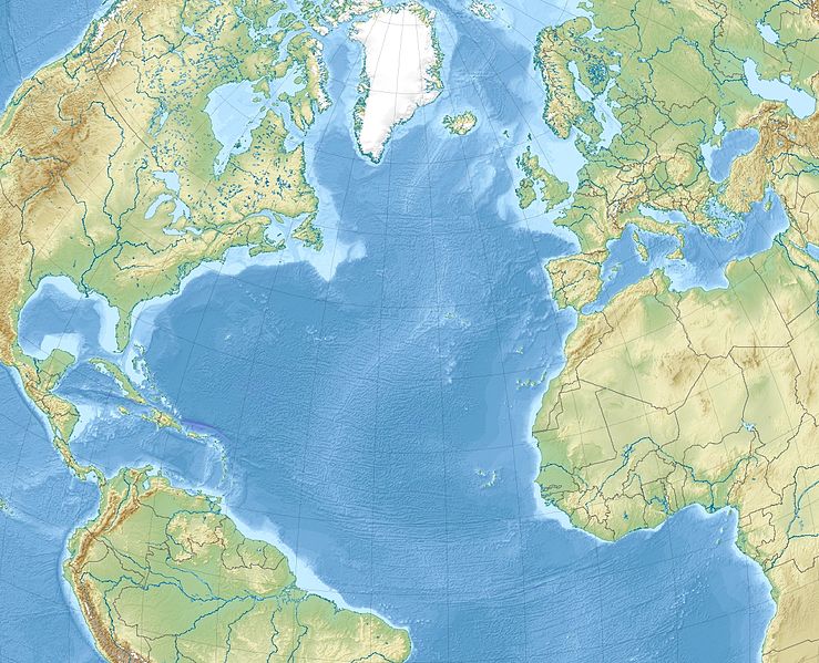
پەڕگە:North Atlantic Ocean laea relief location map.jpg
ڕواڵەت

قەبارەی ئەم پێشبینینە: ٧٣٩ لە ٥٩٩ پیکسەڵ. ڕێزەلووشنەکانی تر: ٢٩٦ لە ٢٤٠ پیکسەڵ | ٥٩٢ لە ٤٨٠ پیکسەڵ | ٩٤٧ لە ٧٦٨ پیکسەڵ | ١٬١٨١ لە ٩٥٨ پیکسەڵ.
پەڕگەی سەرەکی (١٬١٨١ × ٩٥٨ پیکسڵ، قەبارەی پەڕگە: ١٫١٣ مێگابایت، جۆری ئێم ئای ئێم ئی: image/jpeg)
مێژووی پەڕگە
کرتە بکە لەسەر یەکێک لە ڕێکەوت/کاتەکان بۆ بینینی پەڕگەکە بەو شێوەی لەو کاتەدا بووە.
| ڕێکەوت/کات | ھێما | ئەندازە | بەکارھێنەر | تێبینی | |
|---|---|---|---|---|---|
| هەنووکە | ١١:٢٠، ٤ی کانوونی یەکەمی ٢٠١٠ |  | ١٬١٨١ لە ٩٥٨ (١٫١٣ مێگابایت) | Uwe Dedering | {{Information |Description={{en|1= Relief location map of North_Atlantic_Ocean. * Projection: Lambert azimuthal equal-area projection. * Area of interest: :* N: 80.0° N :* S: -10.0° N :* W: -90.0° E :* E: 20.0° E * Projection center: :* NS: 35.0° N : |
بەکارھێنانی پەڕگە
ئەم پەڕەیە ئەم پەڕگەیە بەکار دەھێنێت:
بەکارھێنانی سەرانسەریی پەڕگە
ئەم ویکیانەی دیکەی خوارەوەش ئەم پەڕگە بەکاردێنن:
- بەکارھێنان لە ar.wikipedia.org
- بەکارھێنان لە ast.wikipedia.org
- بەکارھێنان لە az.wikipedia.org
- بەکارھێنان لە be-tarask.wikipedia.org
- بەکارھێنان لە be.wikipedia.org
- بەکارھێنان لە ceb.wikipedia.org
- بەکارھێنان لە ce.wikipedia.org
- بەکارھێنان لە de.wikipedia.org
- بەکارھێنان لە el.wikipedia.org
- بەکارھێنان لە en.wikipedia.org
- Strait of Gibraltar
- Panama City
- Eglin Air Force Base
- Tyndall Air Force Base
- McGuire Air Force Base
- Beerenberg
- Glorious First of June
- Bogotá
- Ilulissat
- Naval Air Station Joint Reserve Base Willow Grove
- Paradise Island
- HX convoys
- Gulf of Maine
- Hamilton, Bermuda
- Hurlburt Field
- Abaco Islands
- RAF Mildenhall
- SS Ceramic
بینینی بەکارھێنانی گشتی زیاتری ئەم پەڕگەیە.

