پەڕگە:Mali relief location map.jpg
ڕواڵەت

قەبارەی ئەم پێشبینینە: ٦٢٩ لە ٦٠٠ پیکسەڵ. ڕێزەلووشنەکانی تر: ٢٥٢ لە ٢٤٠ پیکسەڵ | ٥٠٣ لە ٤٨٠ پیکسەڵ | ٨٠٥ لە ٧٦٨ پیکسەڵ | ١٬٠٧٤ لە ١٬٠٢٤ پیکسەڵ | ١٬٩٠٠ لە ١٬٨١٢ پیکسەڵ.
پەڕگەی سەرەکی (١٬٩٠٠ × ١٬٨١٢ پیکسڵ، قەبارەی پەڕگە: ١٫٧٢ مێگابایت، جۆری ئێم ئای ئێم ئی: image/jpeg)
مێژووی پەڕگە
کرتە بکە لەسەر یەکێک لە ڕێکەوت/کاتەکان بۆ بینینی پەڕگەکە بەو شێوەی لەو کاتەدا بووە.
| ڕێکەوت/کات | ھێما | ئەندازە | بەکارھێنەر | تێبینی | |
|---|---|---|---|---|---|
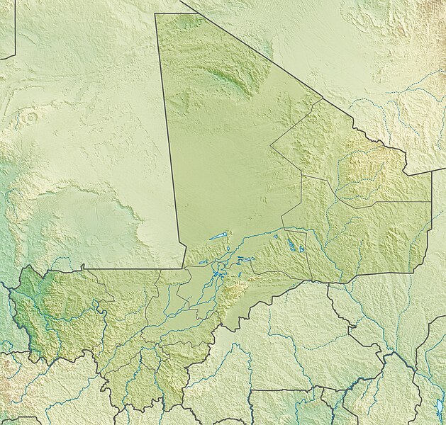
| هەنووکە | ١٥:٢٢، ٦ی ئایاری ٢٠١٠ |  | ١٬٩٠٠ لە ١٬٨١٢ (١٫٧٢ مێگابایت) | Carport | {{Information |Description={{de|Physische Positionskarte von {{w|Mali|3=de}}}} Quadratische Plattkarte, N-S-Streckung 105 %. Geographische Begrenzung der Karte: * N: 25.5° N * S: 9.7° N * W: 12.6° W * O: 4.8° O {{en|Physical location map of {{w|Mali}} |
بەکارھێنانی پەڕگە
ئەم پەڕەیە ئەم پەڕگەیە بەکار دەھێنێت:
بەکارھێنانی سەرانسەریی پەڕگە
ئەم ویکیانەی دیکەی خوارەوەش ئەم پەڕگە بەکاردێنن:
- بەکارھێنان لە ar.wikipedia.org
- بەکارھێنان لە arz.wikipedia.org
- بەکارھێنان لە ast.wikipedia.org
- بەکارھێنان لە az.wikipedia.org
- بەکارھێنان لە ba.wikipedia.org
- بەکارھێنان لە be.wikipedia.org
- بەکارھێنان لە bg.wikipedia.org
- بەکارھێنان لە bn.wikipedia.org
- بەکارھێنان لە bs.wikipedia.org
- بەکارھێنان لە ca.wikipedia.org
- بەکارھێنان لە ceb.wikipedia.org
- بەکارھێنان لە ce.wikipedia.org
- بەکارھێنان لە cs.wikipedia.org
- بەکارھێنان لە da.wikipedia.org
- بەکارھێنان لە de.wikipedia.org
- Mali
- Timbuktu
- Manantali-Talsperre
- Massina
- Gossi (See)
- Hombori Tondo
- Vorlage:Positionskarte Mali
- Wikipedia:Kartenwerkstatt/Positionskarten/Afrika
- Débo-See
- Benutzer:Carport/Galerie
- Adjelhoc
- Faguibine
- Diafarabé
- Welterbe in Mali
- Kabara (Mali)
- Téméra
- Ber (Timbuktu)
- Liste von Kraftwerken in Mali
- Kraftwerk Félou
- Manantali-See
- Tinzaouatène
بینینی بەکارھێنانی گشتی زیاتری ئەم پەڕگەیە.
