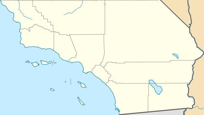
پەڕگە:USA California Southern location map.svg
ڕواڵەت

Size of this PNG preview of this SVG file: ٦٨٥ لە ٣٨٧ پیکسەڵ. ڕێزەلووشنەکانی تر: ٣٢٠ لە ١٨١ پیکسەڵ | ٦٤٠ لە ٣٦٢ پیکسەڵ | ١٬٠٢٤ لە ٥٧٩ پیکسەڵ | ١٬٢٨٠ لە ٧٢٣ پیکسەڵ | ٢٬٥٦٠ لە ١٬٤٤٦ پیکسەڵ.
پەڕگەی سەرەکی (پەڕگەی SVG، بە ناو ٦٨٥ × ٣٨٧ پیکسەڵ، قەبارەی پەڕگە: ٤٣٠ کیلۆبایت)
مێژووی پەڕگە
کرتە بکە لەسەر یەکێک لە ڕێکەوت/کاتەکان بۆ بینینی پەڕگەکە بەو شێوەی لەو کاتەدا بووە.
| ڕێکەوت/کات | ھێما | ئەندازە | بەکارھێنەر | تێبینی | |
|---|---|---|---|---|---|
| هەنووکە | ٢٣:٣١، ٢٥ی تشرینی دووەمی ٢٠١١ |  | ٦٨٥ لە ٣٨٧ (٤٣٠ کیلۆبایت) | Banaticus | == {{int:filedesc}} == {{Information |Description={{de|Positionskarte von Kalifornien, USA}} Quadratische Plattkarte, N-S-Streckung 125 %. Geographische Begrenzung der Karte: * N: 35.7911111° N * S: 32.5342232° N * W: 121 |
بەکارھێنانی پەڕگە
ئەم پەڕەی 2ە ئەم پەڕگەیە بەکار دەھێنێت:
بەکارھێنانی سەرانسەریی پەڕگە
ئەم ویکیانەی دیکەی خوارەوەش ئەم پەڕگە بەکاردێنن:
- بەکارھێنان لە ar.wikipedia.org
- بەکارھێنان لە azb.wikipedia.org
- بەکارھێنان لە ceb.wikipedia.org
- بەکارھێنان لە en.wikipedia.org
- L. Ron Hubbard
- El Centro, California
- Holtville, California
- Salton City, California
- Boron, California
- Frazier Park, California
- Inyokern, California
- Lake of the Woods, California
- Lebec, California
- Ridgecrest, California
- Bell Gardens, California
- Inglewood, California
- Littlerock, California
- South Gate, California
- Willowbrook, California
- Laguna Woods, California
- Newport Beach, California
- Desert Hot Springs, California
- Idyllwild–Pine Cove, California
- Indio, California
- Palm Desert, California
- Adelanto, California
- Apple Valley, California
- Barstow, California
- Lake Arrowhead, California
- Montclair, California
- San Bernardino, California
- Yucaipa, California
- Julian, California
- National City, California
- Poway, California
- Rancho Santa Fe, California
- Winter Gardens, California
- Cambria, California
- Isla Vista, California
- Lompoc, California
بینینی بەکارھێنانی گشتی زیاتری ئەم پەڕگەیە.

