
پەڕگە:Trinidad and Tobago location map.svg

Size of this PNG preview of this SVG file: ٦١٩ لە ٦٠٠ پیکسەڵ. ڕێزەلووشنەکانی تر: ٢٤٨ لە ٢٤٠ پیکسەڵ | ٤٩٥ لە ٤٨٠ پیکسەڵ | ٧٩٢ لە ٧٦٨ پیکسەڵ | ١٬٠٥٧ لە ١٬٠٢٤ پیکسەڵ | ٢٬١١٣ لە ٢٬٠٤٨ پیکسەڵ | ٧٨٠ لە ٧٥٦ پیکسەڵ.
پەڕگەی سەرەکی (پەڕگەی SVG، بە ناو ٧٨٠ × ٧٥٦ پیکسەڵ، قەبارەی پەڕگە: ٣٩ کیلۆبایت)
کورتە
| وەسف |
Deutsch: Positionskarte von Trinidad und Tobago
Quadratische Plattkarte. Geographische Begrenzung der Karte:
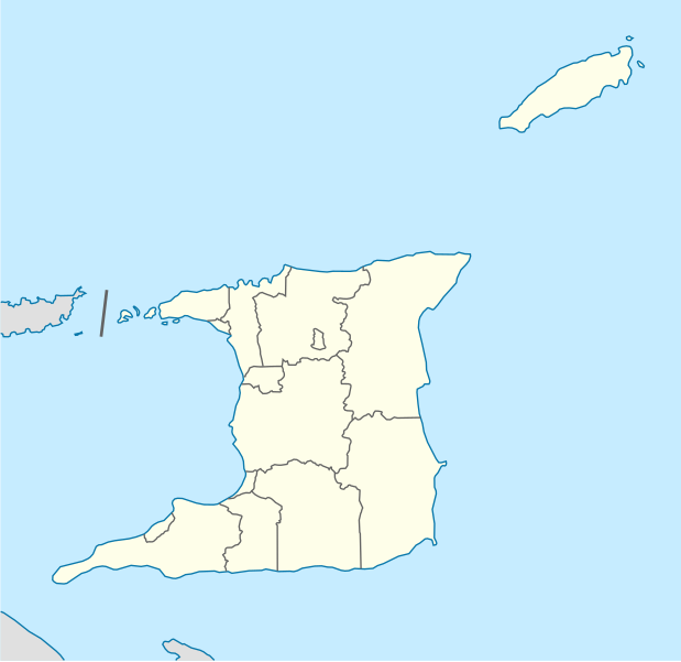
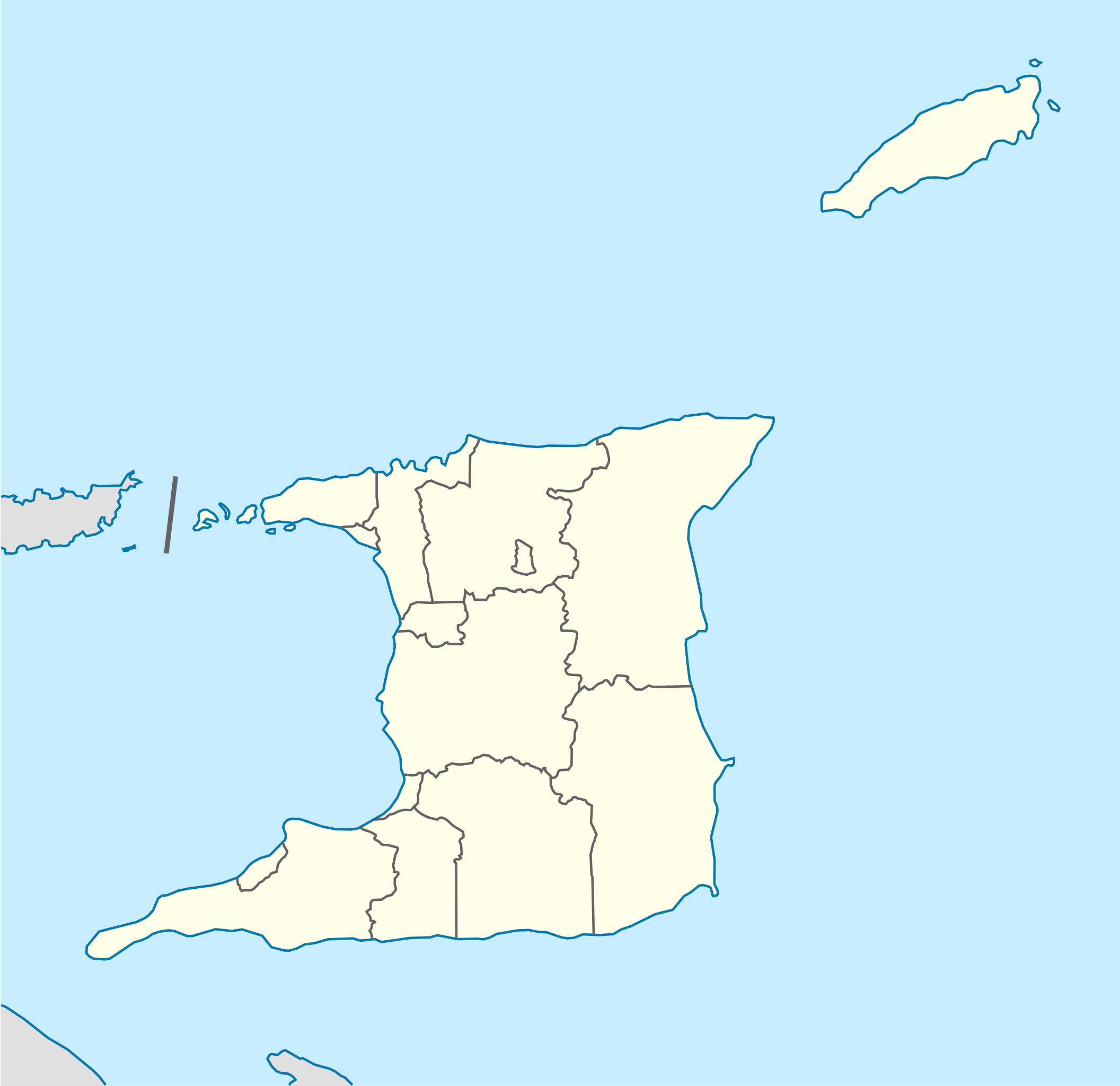
English: Location map of Trinidad and Tobago
Equirectangular projection. Geographic limits of the map:
|
| ڕێکەوت | |
| سەرچاوە |
بەرھەمی خۆم, using
|
| بەرھەمھێنەر | NordNordWest |
| وەشانەکانی تر |
Derivative works of this file: Trinidad and Tobago location map Topographic.png |


|
This map has been made or improved in the German Kartenwerkstatt (Map Lab). You can propose maps to improve as well.
|
مۆڵەتنامە
من، ھەڵگری مافی لەبەرگرتنەوەی ئەم بەرھەمە، لەژێر ئەم مۆڵەتنامەیەدا بڵاوی دەکەمەوە:
ئەم پەڕگەیە لە ژێر مۆڵەتنامەی
Creative Commons Attribution-Share Alike 3.0 Unported دایە.
- تۆ ئازادی:
- بۆ بڵاکردنەوە – بۆ کۆپی کردن، دابەشکردن و دەستبەدەست ناردنی
- بۆ تێکەڵکردنەوە – بۆ سازاندنی کارەکە
- بەم مەرجانەی خوارەوە:
- دانەپاڵ – پێویستە باوەڕی گونجاو بدەیت، بەستەرێک بۆ مۆڵەتەکە دابین بکەیت و ئاماژە بەوە بکەیت کە ئایا گۆڕانکاری کراوە یان نا. دەتوانیت بە هەر شێوەیەکی گونجاو ئەوە بکەیت، بەڵام بە شێوەیەک نا کە وا دەربکەوێت کە مۆڵەتدەر پشتگیری تۆ یان بەکارهێنانەکەت بکات.
- بڵاوکردنەوەی گونجاو – ئەگەر لەسەر بنەمای ئەم کارە تێکەڵ، گۆڕان، یان ساز بکەی، پێویستە بەشدارییەکانت بە هەمان مۆڵەت یان هاوشێوەی مۆڵەتی ئەسڵی دابەش بکەی.
مێژووی پەڕگە
کرتە بکە لەسەر یەکێک لە ڕێکەوت/کاتەکان بۆ بینینی پەڕگەکە بەو شێوەی لەو کاتەدا بووە.
| ڕێکەوت/کات | ھێما | ئەندازە | بەکارھێنەر | تێبینی | |
|---|---|---|---|---|---|
| هەنووکە | ١٢:٣٩، ٧ی ئایاری ٢٠١٣ | | ٧٨٠ لە ٧٥٦ (٣٩ کیلۆبایت) | NordNordWest | Reverted to version as of 16:58, 17 June 2009; please see en: Chacachacare |
| ١٢:٠٩، ٧ی ئایاری ٢٠١٣ |  | ٧٨٠ لە ٧٥٦ (٤٣ کیلۆبایت) | Dr Brains | Boundary with Venezuela | |
| ١٦:٥٨، ١٧ی حوزەیرانی ٢٠٠٩ |  | ٧٨٠ لە ٧٥٦ (٣٩ کیلۆبایت) | NordNordWest | {{Information |Description= {{de|Positionskarte von Trinidad und Tobago}} Quadratische Plattkarte. Geographische Begrenzung der Karte: * N: 11.45° N * S: 9.85° N * W: 62.05° W * O: 60.4° W {{en|Location map of [[:en:Trinida |
بەکارھێنانی پەڕگە
ئەم پەڕەیە ئەم پەڕگەیە بەکار دەھێنێت:
بەکارھێنانی سەرانسەریی پەڕگە
ئەم ویکیانەی دیکەی خوارەوەش ئەم پەڕگە بەکاردێنن:
- بەکارھێنان لە af.wikipedia.org
- بەکارھێنان لە ar.wikipedia.org
- بەکارھێنان لە be-tarask.wikipedia.org
- بەکارھێنان لە be.wikipedia.org
- بەکارھێنان لە bg.wikipedia.org
- بەکارھێنان لە bn.wikipedia.org
- بەکارھێنان لە bs.wikipedia.org
- بەکارھێنان لە ca.wikipedia.org
- بەکارھێنان لە ceb.wikipedia.org
- Plantilya:Location map Trinidad and Tobago
- White Cliff
- Smith Island
- The Sisters
- Signal Hill
- Saint Paul
- Saint John
- Saint George
- Red Cliff
- Pelican Rocks
- Morris Bay
- Long Island
- Hermitage Bay
- Goat Island
- Five Islands
- North Point
- Sandy Point
- Long Rock
- Rocky Point
- Black Rock
- Wolf Rock
- White Rock
- East Rock
- Crown Point
- Centre Hill
- The Brothers
- South Rock
- Sandy Bay
- Eastern Channel
- Sisters Rocks
- Brothers Rocks
- Man of War Bay
بینینی بەکارھێنانی گشتی زیاتری ئەم پەڕگەیە.