
پەڕگە:Japan bluemarble location map with side map of the Ryukyu Islands.jpg
قەبارەی ئەم پێشبینینە: ٦٦٤ لە ٦٠٠ پیکسەڵ. ڕێزەلووشنەکانی تر: ٢٦٦ لە ٢٤٠ پیکسەڵ | ٥٣١ لە ٤٨٠ پیکسەڵ | ٨٥٠ لە ٧٦٨ پیکسەڵ | ١٬١٣٣ لە ١٬٠٢٤ پیکسەڵ | ٢٬٤٩٧ لە ٢٬٢٥٦ پیکسەڵ.
پەڕگەی سەرەکی (٢٬٤٩٧ × ٢٬٢٥٦ پیکسڵ، قەبارەی پەڕگە: ١٫٣٨ مێگابایت، جۆری ئێم ئای ئێم ئی: image/jpeg)
کورتە
| وەسف |
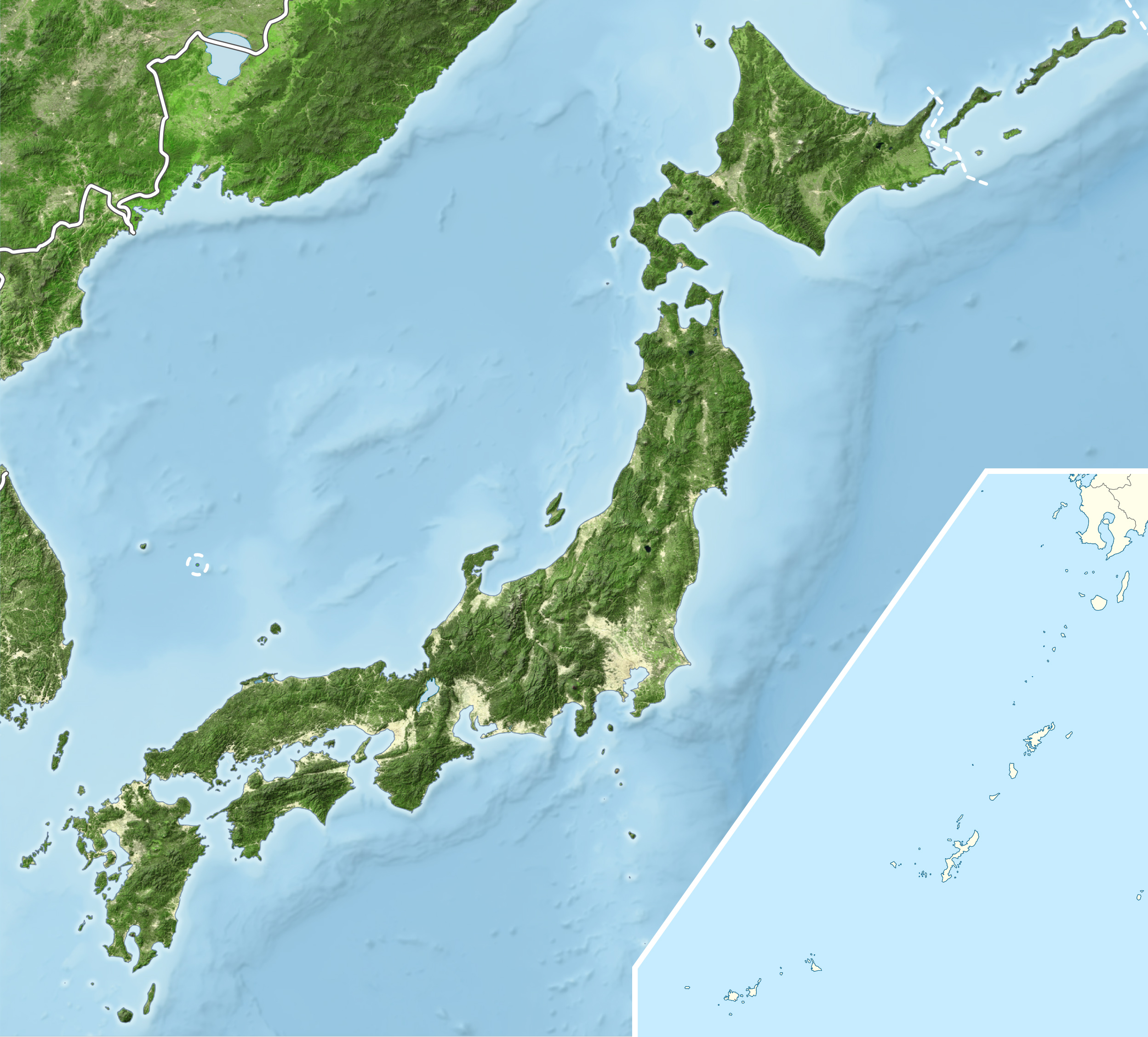
English: Blue Marble Location map of Japan
Equirectangular projection. Geographic limits to locate objects in the main map with the main islands:
Geographic limits to locate objects in the side map with the Ryukyu Islands:
|
||
| ڕێکەوت | |||
| سەرچاوە |
|
||
| بەرھەمھێنەر | Alexrk2 | ||
| ڕێپێدان (بەکارھێنانەوەی ئەم پەڕگەیە) |
ئەم پەڕگەیە لە ژێر مۆڵەتنامەی
Creative Commons Attribution-Share Alike 3.0 Unported دایە.
|
||
| وەشانەکانی تر |
|


مێژووی پەڕگە
کرتە بکە لەسەر یەکێک لە ڕێکەوت/کاتەکان بۆ بینینی پەڕگەکە بەو شێوەی لەو کاتەدا بووە.
| ڕێکەوت/کات | ھێما | ئەندازە | بەکارھێنەر | تێبینی | |
|---|---|---|---|---|---|
| هەنووکە | ١٩:٥٥، ٢٢ی ئازاری ٢٠١١ | | ٢٬٤٩٧ لە ٢٬٢٥٦ (١٫٣٨ مێگابایت) | Alexrk2 | RGB |
| ١٩:٠٧، ٢٢ی ئازاری ٢٠١١ |  | ٢٬٤٩٧ لە ٢٬٢٥٦ (٨٧٨ کیلۆبایت) | Chumwa | RGB mode | |
| ٢١:٥٧، ٢١ی ئازاری ٢٠١١ |  | ٢٬٤٩٧ لە ٢٬٢٥٦ (١٫٨٨ مێگابایت) | Alexrk2 | jpg quality | |
| ٢١:٠٥، ٢١ی ئازاری ٢٠١١ |  | ٢٬٤٩٧ لە ٢٬٢٥٦ (١٫٨٢ مێگابایت) | Alexrk2 | == {{int:filedesc}} == {{Information |Description= {{en|Blue Marble Location map of Japan Equirectangular projection. Geographic limits to locate objects in the main map with the main islands: * N: 45°51'37" N (45.86°N) * S: 30°01'13" N |
بەکارھێنانی پەڕگە
ئەم پەڕەیە ئەم پەڕگەیە بەکار دەھێنێت:
بەکارھێنانی سەرانسەریی پەڕگە
ئەم ویکیانەی دیکەی خوارەوەش ئەم پەڕگە بەکاردێنن:
- بەکارھێنان لە ace.wikipedia.org
- بەکارھێنان لە ar.wikipedia.org
- بەکارھێنان لە arz.wikipedia.org
- بەکارھێنان لە ast.wikipedia.org
- بەکارھێنان لە as.wikipedia.org
- بەکارھێنان لە azb.wikipedia.org
- بەکارھێنان لە ban.wikipedia.org
- بەکارھێنان لە bcl.wikipedia.org
- بەکارھێنان لە bh.wikipedia.org
- بەکارھێنان لە bn.wikipedia.org
- بەکارھێنان لە br.wikipedia.org
- بەکارھێنان لە bs.wikipedia.org
- بەکارھێنان لە ca.wikipedia.org
- بەکارھێنان لە ceb.wikipedia.org
- بەکارھێنان لە cs.wikipedia.org
- بەکارھێنان لە da.wikipedia.org
- بەکارھێنان لە de.wikipedia.org
- بەکارھێنان لە diq.wikipedia.org
- بەکارھێنان لە dty.wikipedia.org
- بەکارھێنان لە el.wikipedia.org
بینینی بەکارھێنانی گشتی زیاتری ئەم پەڕگەیە.