
پەڕگە:Dominica location map.svg

Size of this PNG preview of this SVG file: ٥٢٥ لە ٥٩٩ پیکسەڵ. ڕێزەلووشنەکانی تر: ٢١٠ لە ٢٤٠ پیکسەڵ | ٤٢١ لە ٤٨٠ پیکسەڵ | ٦٧٣ لە ٧٦٨ پیکسەڵ | ٨٩٧ لە ١٬٠٢٤ پیکسەڵ | ١٬٧٩٤ لە ٢٬٠٤٨ پیکسەڵ | ١٬١٠٤ لە ١٬٢٦٠ پیکسەڵ.
پەڕگەی سەرەکی (پەڕگەی SVG، بە ناو ١٬١٠٤ × ١٬٢٦٠ پیکسەڵ، قەبارەی پەڕگە: ٧٨ کیلۆبایت)
کورتە
| وەسف |
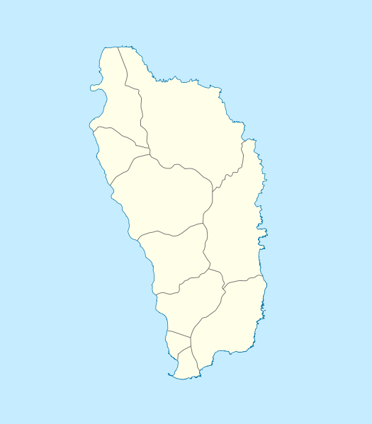
Deutsch: Positionskarte von Dominica
Geographische Begrenzung der Karte:
English: Location map of Dominica
Geographic limits of the map:
|
||||||||||||
| ڕێکەوت | |||||||||||||
| سەرچاوە | بەرھەمی خۆم | ||||||||||||
| بەرھەمھێنەر | NordNordWest | ||||||||||||
| ڕێپێدان (بەکارھێنانەوەی ئەم پەڕگەیە) |
|

|
This map has been made or improved in the German Kartenwerkstatt (Map Lab). You can propose maps to improve as well.
|
مێژووی پەڕگە
کرتە بکە لەسەر یەکێک لە ڕێکەوت/کاتەکان بۆ بینینی پەڕگەکە بەو شێوەی لەو کاتەدا بووە.
| ڕێکەوت/کات | ھێما | ئەندازە | بەکارھێنەر | تێبینی | |
|---|---|---|---|---|---|
| هەنووکە | ١٠:١٨، ١٧ی کانوونی یەکەمی ٢٠٠٩ | | ١٬١٠٤ لە ١٬٢٦٠ (٧٨ کیلۆبایت) | NordNordWest | == {{int:filedesc}} == {{Information |Description= {{de|Positionskarte von Dominica}} Geographische Begrenzung der Karte: * N: 15.7° N * S: 15.15° N * W: 61.6° W * O: 61.1° W {{en|Location map of Dominica}} Geographic |
بەکارھێنانی پەڕگە
ئەم پەڕەیە ئەم پەڕگەیە بەکار دەھێنێت:
بەکارھێنانی سەرانسەریی پەڕگە
ئەم ویکیانەی دیکەی خوارەوەش ئەم پەڕگە بەکاردێنن:
- بەکارھێنان لە af.wikipedia.org
- بەکارھێنان لە an.wikipedia.org
- بەکارھێنان لە ar.wikipedia.org
- بەکارھێنان لە ast.wikipedia.org
- بەکارھێنان لە ba.wikipedia.org
- بەکارھێنان لە be-tarask.wikipedia.org
- بەکارھێنان لە be.wikipedia.org
- بەکارھێنان لە bg.wikipedia.org
- بەکارھێنان لە bn.wikipedia.org
- بەکارھێنان لە bs.wikipedia.org
- بەکارھێنان لە ceb.wikipedia.org
- Plantilya:Location map Dominica
- Saint Paul
- Saint John
- Saint George
- Jenny Point
- Indian River
- Noble
- Salisbury
- Douglas Point
- Saint Joseph (pagklaro)
- Sugarloaf
- North River
- Cape Melville
- Saint Davids Bay
- Tweed River
- Scotts Head
- Saint Joseph River
- Rosalie
- National Park
- Lagoon River
- Clyde River
- Middle Bay
- Douglas Bay
- Rough Bay
- Fresh Water Lake
- Woodford Hill
- Bellevue Mountain
- Grand Bay
- Hampstead
- Hillsborough Bay
بینینی بەکارھێنانی گشتی زیاتری ئەم پەڕگەیە.