
پەڕگە:Congo physical map.svg

Size of this PNG preview of this SVG file: ٥٥٧ لە ٦٠٠ پیکسەڵ. ڕێزەلووشنەکانی تر: ٢٢٣ لە ٢٤٠ پیکسەڵ | ٤٤٦ لە ٤٨٠ پیکسەڵ | ٧١٣ لە ٧٦٨ پیکسەڵ | ٩٥١ لە ١٬٠٢٤ پیکسەڵ | ١٬٩٠٣ لە ٢٬٠٤٨ پیکسەڵ | ٨٥١ لە ٩١٦ پیکسەڵ.
پەڕگەی سەرەکی (پەڕگەی SVG، بە ناو ٨٥١ × ٩١٦ پیکسەڵ، قەبارەی پەڕگە: ٢٫٢٦ مێگابایت)
کورتە
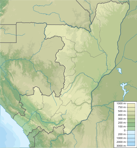
| وەسف | Map of the Republic of the Congo, parameters equivalent to File:Congo location map.svg |
| ڕێکەوت | |
| سەرچاوە | بەرھەمی خۆم |
| بەرھەمھێنەر | Urutseg |
مۆڵەتنامە
من، ھەڵگری مافی لەبەرگرتنەوەی ئەم بەرھەمە، لەژێر ئەم مۆڵەتنامەیەدا بڵاوی دەکەمەوە:
| This file is made available under the Creative Commons CC0 1.0 Universal Public Domain Dedication. | |
| The person who associated a work with this deed has dedicated the work to the public domain by waiving all of their rights to the work worldwide under copyright law, including all related and neighboring rights, to the extent allowed by law. You can copy, modify, distribute and perform the work, even for commercial purposes, all without asking permission.
|
مێژووی پەڕگە
کرتە بکە لەسەر یەکێک لە ڕێکەوت/کاتەکان بۆ بینینی پەڕگەکە بەو شێوەی لەو کاتەدا بووە.
| ڕێکەوت/کات | ھێما | ئەندازە | بەکارھێنەر | تێبینی | |
|---|---|---|---|---|---|
| هەنووکە | ٠٧:١٦، ١٢ی ئازاری ٢٠١١ | | ٨٥١ لە ٩١٦ (٢٫٢٦ مێگابایت) | Urutseg |
بەکارھێنانی پەڕگە
ئەم پەڕەیە ئەم پەڕگەیە بەکار دەھێنێت:
بەکارھێنانی سەرانسەریی پەڕگە
ئەم ویکیانەی دیکەی خوارەوەش ئەم پەڕگە بەکاردێنن:
- بەکارھێنان لە ar.wikipedia.org
- بەکارھێنان لە ast.wikipedia.org
- بەکارھێنان لە avk.wikipedia.org
- بەکارھێنان لە az.wikipedia.org
- بەکارھێنان لە ba.wikipedia.org
- بەکارھێنان لە be-tarask.wikipedia.org
- بەکارھێنان لە be.wikipedia.org
- بەکارھێنان لە bg.wikipedia.org
- بەکارھێنان لە bn.wikipedia.org
- بەکارھێنان لە bs.wikipedia.org
- بەکارھێنان لە ceb.wikipedia.org
- بەکارھێنان لە ce.wikipedia.org
- بەکارھێنان لە cs.wikipedia.org
- بەکارھێنان لە da.wikipedia.org
- بەکارھێنان لە de.wikipedia.org
- Republik Kongo
- Pool Malebo
- Tele-See
- Kouilou (See)
- Vorlage:Positionskarte Republik Kongo
- Mont Nabebe
- Réserve de la biosphère de Dimonika
- Liste von Kraftwerken in der Republik Kongo
- Talsperre Imboulou
- Barrage de Moukoukoulou
- Bouloukombo
- Nioundou
- Bombo (Republik Kongo)
- Pic Kiama
- Tembo (Republik Kongo)
- Mont Obima
- Montagnes Tobo
بینینی بەکارھێنانی گشتی زیاتری ئەم پەڕگەیە.