
پەڕگە:Bermuda location map.svg

Size of this PNG preview of this SVG file: ٨٠٠ لە ٥٤٥ پیکسەڵ. ڕێزەلووشنەکانی تر: ٣٢٠ لە ٢١٨ پیکسەڵ | ٦٤٠ لە ٤٣٦ پیکسەڵ | ١٬٠٢٤ لە ٦٩٨ پیکسەڵ | ١٬٢٨٠ لە ٨٧٢ پیکسەڵ | ٢٬٥٦٠ لە ١٬٧٤٤ پیکسەڵ | ١٬٣١١ لە ٨٩٣ پیکسەڵ.
پەڕگەی سەرەکی (پەڕگەی SVG، بە ناو ١٬٣١١ × ٨٩٣ پیکسەڵ، قەبارەی پەڕگە: ٥٨ کیلۆبایت)
کورتە
| وەسف |
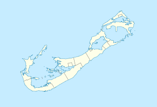
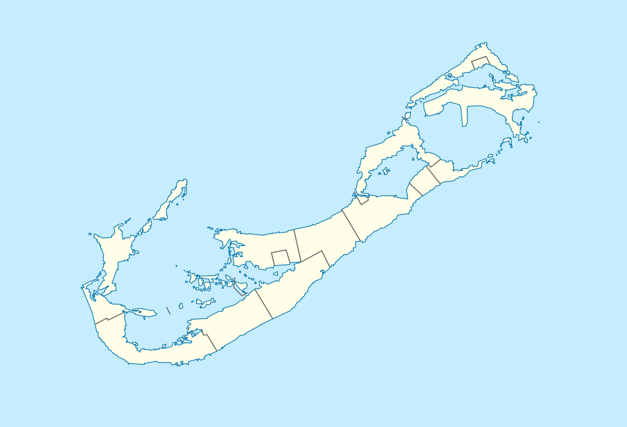
Deutsch: Positionskarte von Bermuda
Geographische Begrenzung der Karte:
English: Location map of Bermuda
Geographic limits of the map:
|
||||||||||||
| ڕێکەوت | |||||||||||||
| سەرچاوە | بەرھەمی خۆم | ||||||||||||
| بەرھەمھێنەر | NordNordWest | ||||||||||||
| ڕێپێدان (بەکارھێنانەوەی ئەم پەڕگەیە) |
|

|
This map has been made or improved in the German Kartenwerkstatt (Map Lab). You can propose maps to improve as well.
|
| Annotations | This image is annotated: View the annotations at Commons |
مێژووی پەڕگە
کرتە بکە لەسەر یەکێک لە ڕێکەوت/کاتەکان بۆ بینینی پەڕگەکە بەو شێوەی لەو کاتەدا بووە.
| ڕێکەوت/کات | ھێما | ئەندازە | بەکارھێنەر | تێبینی | |
|---|---|---|---|---|---|
| هەنووکە | ١٦:٢٩، ١٩ی کانوونی یەکەمی ٢٠٠٩ | | ١٬٣١١ لە ٨٩٣ (٥٨ کیلۆبایت) | NordNordWest | == {{int:filedesc}} == {{Information |Description= {{de|Positionskarte von Bermuda}} Geographische Begrenzung der Karte: * N: 32.41° N * S: 32.22° N * W: 64.93° W * O: 64.6° W {{en|Location map of Bermuda}} Geographic l |
بەکارھێنانی پەڕگە
ئەم پەڕەیە ئەم پەڕگەیە بەکار دەھێنێت:
بەکارھێنانی سەرانسەریی پەڕگە
ئەم ویکیانەی دیکەی خوارەوەش ئەم پەڕگە بەکاردێنن:
- بەکارھێنان لە af.wikipedia.org
- بەکارھێنان لە an.wikipedia.org
- بەکارھێنان لە ar.wikipedia.org
- بەکارھێنان لە ast.wikipedia.org
- بەکارھێنان لە az.wikipedia.org
- بەکارھێنان لە ba.wikipedia.org
- بەکارھێنان لە be-tarask.wikipedia.org
- بەکارھێنان لە be.wikipedia.org
- بەکارھێنان لە bg.wikipedia.org
- بەکارھێنان لە bn.wikipedia.org
- بەکارھێنان لە bs.wikipedia.org
- بەکارھێنان لە ceb.wikipedia.org
- Plantilya:Location map United Kingdom Bermuda
- Grape Bay (luuk sa Bermuda)
- Spanish Point
- South Channel
- Soldier Point
- Saint George
- Port Royal Bay
- Rabbit Island
- Nonsuch Bay
- The Narrows
- Long Island
- Long Bay
- High Point
- Green Bay
- Grape Bay
- Great Bay
- Goat Island
- Crawl Point
- Bird Island
- North Point
- North Channel
- Pembroke
- Long Rock
- Black Rock
- Cat Island
بینینی بەکارھێنانی گشتی زیاتری ئەم پەڕگەیە.