
پەڕگە:Australia Western Australia relief location map.png

قەبارەی ئەم پێشبینینە: ٤١٥ لە ٥٩٩ پیکسەڵ. ڕێزەلووشنەکانی تر: ١٦٦ لە ٢٤٠ پیکسەڵ | ٣٣٣ لە ٤٨٠ پیکسەڵ | ٥٣٢ لە ٧٦٨ پیکسەڵ | ٧١٠ لە ١٬٠٢٤ پیکسەڵ | ١٬٤١٦ لە ٢٬٠٤٣ پیکسەڵ.
پەڕگەی سەرەکی (١٬٤١٦ × ٢٬٠٤٣ پیکسڵ، قەبارەی پەڕگە: ١٫١ مێگابایت، جۆری ئێم ئای ئێم ئی: image/png)
کورتە
| وەسف |
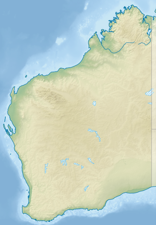
English: Relief location map of Western Australia, Australia
Equidistant cylindrical projection, latitude of true scale 24.62° S (equivalent to equirectangular projection with N/S stretching 110 %). Geographic limits of the map:
|
| ڕێکەوت | |
| سەرچاوە |
|
| بەرھەمھێنەر | Tentotwo |
مۆڵەتنامە
من، ھەڵگری مافی لەبەرگرتنەوەی ئەم بەرھەمە، لەژێر ئەم مۆڵەتنامەیەدا بڵاوی دەکەمەوە:
ئەم پەڕگەیە لە ژێر مۆڵەتنامەی
Creative Commons Attribution-Share Alike 3.0 Unported دایە.
- تۆ ئازادی:
- بۆ بڵاکردنەوە – بۆ کۆپی کردن، دابەشکردن و دەستبەدەست ناردنی
- بۆ تێکەڵکردنەوە – بۆ سازاندنی کارەکە
- بەم مەرجانەی خوارەوە:
- دانەپاڵ – پێویستە باوەڕی گونجاو بدەیت، بەستەرێک بۆ مۆڵەتەکە دابین بکەیت و ئاماژە بەوە بکەیت کە ئایا گۆڕانکاری کراوە یان نا. دەتوانیت بە هەر شێوەیەکی گونجاو ئەوە بکەیت، بەڵام بە شێوەیەک نا کە وا دەربکەوێت کە مۆڵەتدەر پشتگیری تۆ یان بەکارهێنانەکەت بکات.
- بڵاوکردنەوەی گونجاو – ئەگەر لەسەر بنەمای ئەم کارە تێکەڵ، گۆڕان، یان ساز بکەی، پێویستە بەشدارییەکانت بە هەمان مۆڵەت یان هاوشێوەی مۆڵەتی ئەسڵی دابەش بکەی.

|
This map has been made or improved in the German Kartenwerkstatt (Map Lab). You can propose maps to improve as well.
|
مێژووی پەڕگە
کرتە بکە لەسەر یەکێک لە ڕێکەوت/کاتەکان بۆ بینینی پەڕگەکە بەو شێوەی لەو کاتەدا بووە.
| ڕێکەوت/کات | ھێما | ئەندازە | بەکارھێنەر | تێبینی | |
|---|---|---|---|---|---|
| هەنووکە | ٢١:٢٥، ٩ی ئابی ٢٠٢٣ | | ١٬٤١٦ لە ٢٬٠٤٣ (١٫١ مێگابایت) | Lojwe | Cropped < 1 % horizontally, < 1 % vertically using CropTool with precise mode. |
| ١٨:٢٧، ٢ی شوباتی ٢٠١٣ |  | ١٬٤٢٣ لە ٢٬٠٥٢ (١٫١٢ مێگابایت) | Tentotwo | User created page with UploadWizard |
بەکارھێنانی پەڕگە
ئەم پەڕەیە ئەم پەڕگەیە بەکار دەھێنێت:
بەکارھێنانی سەرانسەریی پەڕگە
ئەم ویکیانەی دیکەی خوارەوەش ئەم پەڕگە بەکاردێنن:
- بەکارھێنان لە als.wikipedia.org
- بەکارھێنان لە ar.wikipedia.org
- بەکارھێنان لە ast.wikipedia.org
- بەکارھێنان لە az.wikipedia.org
- بەکارھێنان لە ban.wikipedia.org
- بەکارھێنان لە bg.wikipedia.org
- بەکارھێنان لە ceb.wikipedia.org
- بەکارھێنان لە da.wikipedia.org
- بەکارھێنان لە de.wikipedia.org
- Easter Group
- Lacepedeinseln
- Lake Argyle
- Purnululu-Nationalpark
- Bungle Bungle
- Windjana-Gorge-Nationalpark
- Wolfe-Creek-Krater-Nationalpark
- Shark Bay
- Cape-Arid-Nationalpark
- Nambung-Nationalpark
- Mirima-Nationalpark
- Tunnel-Creek-Nationalpark
- Mount Augustus
- Mount Gabi
- Karijini-Nationalpark
- Kalbarri-Nationalpark
- Marinefunkstelle Harold E. Holt
- Ningaloo Reef
- Cape-Range-Nationalpark
- Dirk Hartog Island
- Dampier-Archipel
- Buccaneer-Archipel
- Barrow Island (Western Australia)
- François-Péron-Nationalpark
- Houtman-Abrolhos-Archipel
- Wallabi-Inseln
- Pelsaert-Inseln
- North Island (Houtman-Abrolhos)
- Montebello-Inseln
- Mount-Augustus-Nationalpark
- Hamersley Range
بینینی بەکارھێنانی گشتی زیاتری ئەم پەڕگەیە.