
پەڕگە:Venezuela location map.svg

Size of this PNG preview of this SVG file: ٦٧٠ لە ٥٩٩ پیکسەڵ. ڕێزەلووشنەکانی تر: ٢٦٨ لە ٢٤٠ پیکسەڵ | ٥٣٧ لە ٤٨٠ پیکسەڵ | ٨٥٩ لە ٧٦٨ پیکسەڵ | ١٬١٤٥ لە ١٬٠٢٤ پیکسەڵ | ٢٬٢٩٠ لە ٢٬٠٤٨ پیکسەڵ | ١٬٦٥٤ لە ١٬٤٧٩ پیکسەڵ.
پەڕگەی سەرەکی (پەڕگەی SVG، بە ناو ١٬٦٥٤ × ١٬٤٧٩ پیکسەڵ، قەبارەی پەڕگە: ٧٤٣ کیلۆبایت)
کورتە
| وەسف |
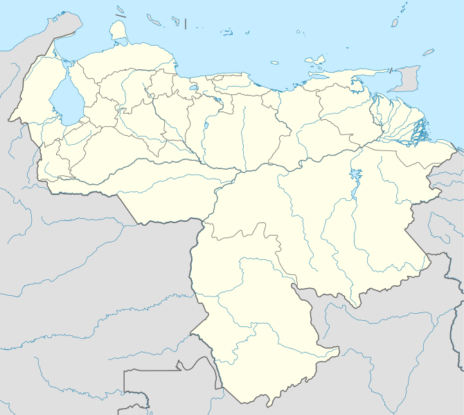
Deutsch: Positionskarte von Venezuela
Quadratische Plattkarte, N-S-Streckung 101 %. Geographische Begrenzung der Karte:
English: Location map of Venezuela
Equirectangular projection, N/S stretching 101 %. Geographic limits of the map:
|
| ڕێکەوت | |
| سەرچاوە |
بەرھەمی خۆم, using
|
| بەرھەمھێنەر | NordNordWest |
| ڕێپێدان (بەکارھێنانەوەی ئەم پەڕگەیە) |
من، ھەڵگری مافی لەبەرگرتنەوەی ئەم بەرھەمە، لەژێر ئەم مۆڵەتنامەیەدا بڵاوی دەکەمەوە: ئەم پەڕگەیە لە ژێر مۆڵەتنامەی
Creative Commons Attribution-Share Alike 3.0 Unported دایە.
|
| وەشانەکانی تر |
Derivative works of this file: Venezuela relief location map.jpg
|

.svg)
.jpg)

|
This map has been made or improved in the German Kartenwerkstatt (Map Lab). You can propose maps to improve as well.
|
مێژووی پەڕگە
کرتە بکە لەسەر یەکێک لە ڕێکەوت/کاتەکان بۆ بینینی پەڕگەکە بەو شێوەی لەو کاتەدا بووە.
| ڕێکەوت/کات | ھێما | ئەندازە | بەکارھێنەر | تێبینی | |
|---|---|---|---|---|---|
| هەنووکە | ١٩:٣٨، ٢١ی ئەیلوولی ٢٠٠٩ | | ١٬٦٥٤ لە ١٬٤٧٩ (٧٤٣ کیلۆبایت) | NordNordWest | =={{int:filedesc}}== {{Information |Description= {{de|Positionskarte von Venezuela}} Quadratische Plattkarte, N-S-Streckung 101 %. Geographische Begrenzung der Karte: * N: 12.8° N * S: 0.4° N * W: 73.6° W * O: 59.6° W {{en|Location m |
بەکارھێنانی پەڕگە
ئەم پەڕەیە ئەم پەڕگەیە بەکار دەھێنێت:
بەکارھێنانی سەرانسەریی پەڕگە
ئەم ویکیانەی دیکەی خوارەوەش ئەم پەڕگە بەکاردێنن:
- بەکارھێنان لە af.wikipedia.org
- بەکارھێنان لە als.wikipedia.org
- بەکارھێنان لە am.wikipedia.org
- بەکارھێنان لە an.wikipedia.org
- Caracas
- Maracaibo
- Valencia (Venezuela)
- Maracay
- Barquisimeto
- San Cristóbal (Venezuela)
- La Guaira
- Ciudat Bolívar
- Maturín
- Mérida (Venezuela)
- Los Teques
- Barinas (ciudat)
- Coro (Venezuela)
- San Juan de Los Morros
- La Asunción
- San Felipe (Venezuela)
- Trujillo (Venezuela)
- Puerto Ayacucho
- Cumaná
- Barcelona (Venezuela)
- Guanare
- Tucupita
- San Fernando de Apure
- San Carlos (Venezuela)
- Puerto La Cruz
- Puerto Cabello
- Ciudat Guayana
- San Fernando de Atabapo
- Ciudat Ojeda
- Cabimas
- Lechería
- Isla Ratón
- Plantilla:Mapa de localización Venezuela
- Guasdualito
- Colonia Tovar
- Urica
- بەکارھێنان لە ast.wikipedia.org
- بەکارھێنان لە awa.wikipedia.org
- بەکارھێنان لە az.wikipedia.org
- بەکارھێنان لە ba.wikipedia.org
بینینی بەکارھێنانی گشتی زیاتری ئەم پەڕگەیە.