
پەڕگە:Spain Aragon location map.svg

Size of this PNG preview of this SVG file: ٤٧٤ لە ٥٩٩ پیکسەڵ. ڕێزەلووشنەکانی تر: ١٩٠ لە ٢٤٠ پیکسەڵ | ٣٨٠ لە ٤٨٠ پیکسەڵ | ٦٠٨ لە ٧٦٨ پیکسەڵ | ٨١٠ لە ١٬٠٢٤ پیکسەڵ | ١٬٦٢١ لە ٢٬٠٤٨ پیکسەڵ | ٥١٢ لە ٦٤٧ پیکسەڵ.
پەڕگەی سەرەکی (پەڕگەی SVG، بە ناو ٥١٢ × ٦٤٧ پیکسەڵ، قەبارەی پەڕگە: ٥٦٤ کیلۆبایت)
کورتە
| وەسف |
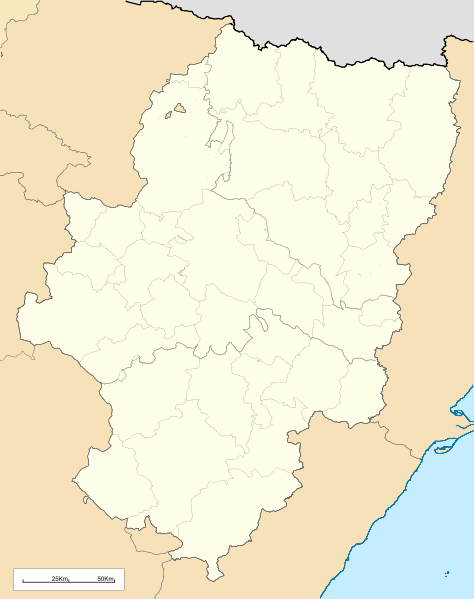
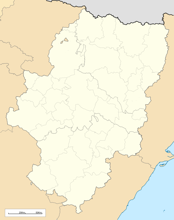
English: Location map of Aragón (Spain)
Equirectangular projection, N/S stretching 130 %. Geographic limits of the map:
Español: Mapa de localización de la comunidad autónoma de Aragón (España)
Proyección equirrectangular, N/S estirada 130 %. Límites geográficos del mapa:
|
|
| ڕێکەوت | ||
| سەرچاوە | Own work based on: Comarcas de Aragón.svg and EspañaLoc.svg | |
| بەرھەمھێنەر | Miguillen | |
| SVG genesis | This locator map was created with Inkscape.
|
مۆڵەتنامە
Miguillen، ھەڵگری مافی لەبەرگرتنەوەی ئەم بەرھەمە، لەژێر ئەم مۆڵەتنامەیەدا بڵاوی دەکاتەوە:
ئەم پەڕگەیە لە ژێر مۆڵەتنامەی
Creative Commons Attribution-Share Alike 3.0 Unported دایە.
دانەپاڵ: Miguillen
- تۆ ئازادی:
- بۆ بڵاکردنەوە – بۆ کۆپی کردن، دابەشکردن و دەستبەدەست ناردنی
- بۆ تێکەڵکردنەوە – بۆ سازاندنی کارەکە
- بەم مەرجانەی خوارەوە:
- دانەپاڵ – پێویستە باوەڕی گونجاو بدەیت، بەستەرێک بۆ مۆڵەتەکە دابین بکەیت و ئاماژە بەوە بکەیت کە ئایا گۆڕانکاری کراوە یان نا. دەتوانیت بە هەر شێوەیەکی گونجاو ئەوە بکەیت، بەڵام بە شێوەیەک نا کە وا دەربکەوێت کە مۆڵەتدەر پشتگیری تۆ یان بەکارهێنانەکەت بکات.
- بڵاوکردنەوەی گونجاو – ئەگەر لەسەر بنەمای ئەم کارە تێکەڵ، گۆڕان، یان ساز بکەی، پێویستە بەشدارییەکانت بە هەمان مۆڵەت یان هاوشێوەی مۆڵەتی ئەسڵی دابەش بکەی.
مێژووی پەڕگە
کرتە بکە لەسەر یەکێک لە ڕێکەوت/کاتەکان بۆ بینینی پەڕگەکە بەو شێوەی لەو کاتەدا بووە.
| ڕێکەوت/کات | ھێما | ئەندازە | بەکارھێنەر | تێبینی | |
|---|---|---|---|---|---|
| هەنووکە | ١٣:٣٨، ١٩ی ئایاری ٢٠١٠ | | ٥١٢ لە ٦٤٧ (٥٦٤ کیلۆبایت) | Miguillen | bordes |
| ١١:٥٨، ١٩ی ئایاری ٢٠١٠ |  | ٥١٢ لە ٦٤٧ (٥٦٤ کیلۆبایت) | Miguillen | == {{int:filedesc}} == {{Information |Description={{en|Location map of Aragón (Spain)}} Equirectangular projection, N/S stretching 130 %. Geographic limits of the map: * N: 43.055249° N * S: 39.750129° N * W: 2.282836° O * E: 0.85 |
بەکارھێنانی پەڕگە
ئەم پەڕەیە ئەم پەڕگەیە بەکار دەھێنێت:
بەکارھێنانی سەرانسەریی پەڕگە
ئەم ویکیانەی دیکەی خوارەوەش ئەم پەڕگە بەکاردێنن:
- بەکارھێنان لە an.wikipedia.org
- Zaragoza
- Uesca
- Teruel
- Biescas
- Calatayú
- Ayerbe
- Daroca
- Chaca
- Samianigo
- Casp
- Bichuesca
- Monzón
- Munebrega
- Chasa
- Lacuna de Gallocanta
- Palacio de l'Alchafaría
- Manzanera (Teruel)
- Fraga (Uesca)
- Agüero
- Benás
- Albero d'Alto
- Alcalá de Gurrea
- Oz de Tena
- Sallent de Galligo
- Linars de Marcuello
- Val de Robres
- Calaceit
- Balbastro
- Alcanyiz
- Graus
- Albarracín
- Fuent de Todos
- Tarazona
- L'Almunia de Donya Godina
- Mont-fort
- Fuent Ferrada
- O Fornigal
- Yesero
- Pandicosa
- Candarenas
- Yebra de Basa
- Cucalón
- Villanuga
- Arinyo
- Boltanya
- Alfacharín
- Illueca
- Torrellas
- Torre la Palla
- Campiello d'Aragón
بینینی بەکارھێنانی گشتی زیاتری ئەم پەڕگەیە.