
پەڕگە:Portugal Madeira location map.svg

Size of this PNG preview of this SVG file: ٦٩٨ لە ٥٩٩ پیکسەڵ. ڕێزەلووشنەکانی تر: ٢٨٠ لە ٢٤٠ پیکسەڵ | ٥٥٩ لە ٤٨٠ پیکسەڵ | ٨٩٥ لە ٧٦٨ پیکسەڵ | ١٬١٩٣ لە ١٬٠٢٤ پیکسەڵ | ٢٬٣٨٦ لە ٢٬٠٤٨ پیکسەڵ | ١٬٥٩٠ لە ١٬٣٦٥ پیکسەڵ.
پەڕگەی سەرەکی (پەڕگەی SVG، بە ناو ١٬٥٩٠ × ١٬٣٦٥ پیکسەڵ، قەبارەی پەڕگە: ١٠٣ کیلۆبایت)
کورتە
| وەسف |
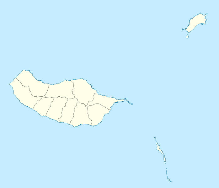
Geographische Begrenzung der Karte:
Geographic limits of the map:
|
||||||||||||
| ڕێکەوت | |||||||||||||
| سەرچاوە | بەرھەمی خۆم | ||||||||||||
| بەرھەمھێنەر | NordNordWest | ||||||||||||
| ڕێپێدان (بەکارھێنانەوەی ئەم پەڕگەیە) |
|
||||||||||||
| وەشانەکانی تر |
Derivative works of this file: |
||||||||||||
| SVG genesis | This W3C-invalid map was created with unknown tool.
|

مێژووی پەڕگە
کرتە بکە لەسەر یەکێک لە ڕێکەوت/کاتەکان بۆ بینینی پەڕگەکە بەو شێوەی لەو کاتەدا بووە.
| ڕێکەوت/کات | ھێما | ئەندازە | بەکارھێنەر | تێبینی | |
|---|---|---|---|---|---|
| هەنووکە | ١٥:٤١، ١٩ی کانوونی یەکەمی ٢٠٠٩ | | ١٬٥٩٠ لە ١٬٣٦٥ (١٠٣ کیلۆبایت) | NordNordWest | == {{int:filedesc}} == {{Information |Description= {{de|Positionskarte von Madeira, Portugal}} Geographische Begrenzung der Karte: * N: 33.16° N * S: 32.38° N * W: 17.31° W * O: 16.23° W {{en|Location map of [[:en:Made |
بەکارھێنانی پەڕگە
ئەم پەڕەیە ئەم پەڕگەیە بەکار دەھێنێت:
بەکارھێنانی سەرانسەریی پەڕگە
ئەم ویکیانەی دیکەی خوارەوەش ئەم پەڕگە بەکاردێنن:
- بەکارھێنان لە af.wikipedia.org
- بەکارھێنان لە an.wikipedia.org
- Funchal
- Seu de Funchal
- Calheta (Madeira)
- Câmara de Lobos
- Machico
- Ponta do Sol
- Porto Santo
- Porto Moniz
- Ribeira Brava (Madeira)
- Santa Cruz (Madeira)
- Santana (Madeira)
- São Vicente (Madeira)
- Diocesi de Funchal
- Fortaleza-Palacio de São Lourenço
- Casa d'a Villa de Funchal
- Puent João Gomes
- Mercau dos Lavradores
- Fuerte de São José
- Fortaleza de Nossa Senhora da Conceição do Ilhéu
- Fortaleza de São Tiago do Funchal
- Vila Baleira
- Plantilla:Mapa de localización Madeira
- بەکارھێنان لە ar.wikipedia.org
- بەکارھێنان لە ast.wikipedia.org
- بەکارھێنان لە az.wikipedia.org
- بەکارھێنان لە ba.wikipedia.org
- بەکارھێنان لە be-tarask.wikipedia.org
- بەکارھێنان لە be.wikipedia.org
- بەکارھێنان لە bg.wikipedia.org
- بەکارھێنان لە bs.wikipedia.org
- بەکارھێنان لە ceb.wikipedia.org
- بەکارھێنان لە ce.wikipedia.org
بینینی بەکارھێنانی گشتی زیاتری ئەم پەڕگەیە.