
پەڕگە:Peru location map.svg

Size of this PNG preview of this SVG file: ٤٩٢ لە ٥٩٩ پیکسەڵ. ڕێزەلووشنەکانی تر: ١٩٧ لە ٢٤٠ پیکسەڵ | ٣٩٤ لە ٤٨٠ پیکسەڵ | ٦٣١ لە ٧٦٨ پیکسەڵ | ٨٤١ لە ١٬٠٢٤ پیکسەڵ | ١٬٦٨٢ لە ٢٬٠٤٨ پیکسەڵ | ٢٬٢٠٠ لە ٢٬٦٧٩ پیکسەڵ.
پەڕگەی سەرەکی (پەڕگەی SVG، بە ناو ٢٬٢٠٠ × ٢٬٦٧٩ پیکسەڵ، قەبارەی پەڕگە: ١٥٫٧٢ مێگابایت)
کورتە
| وەسف |
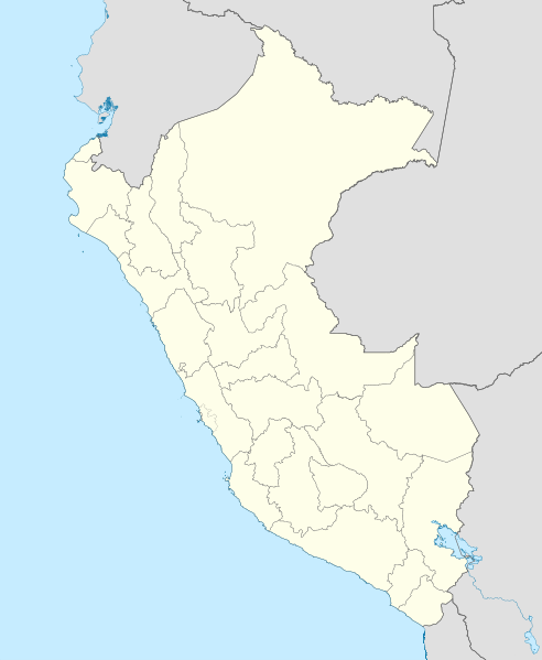
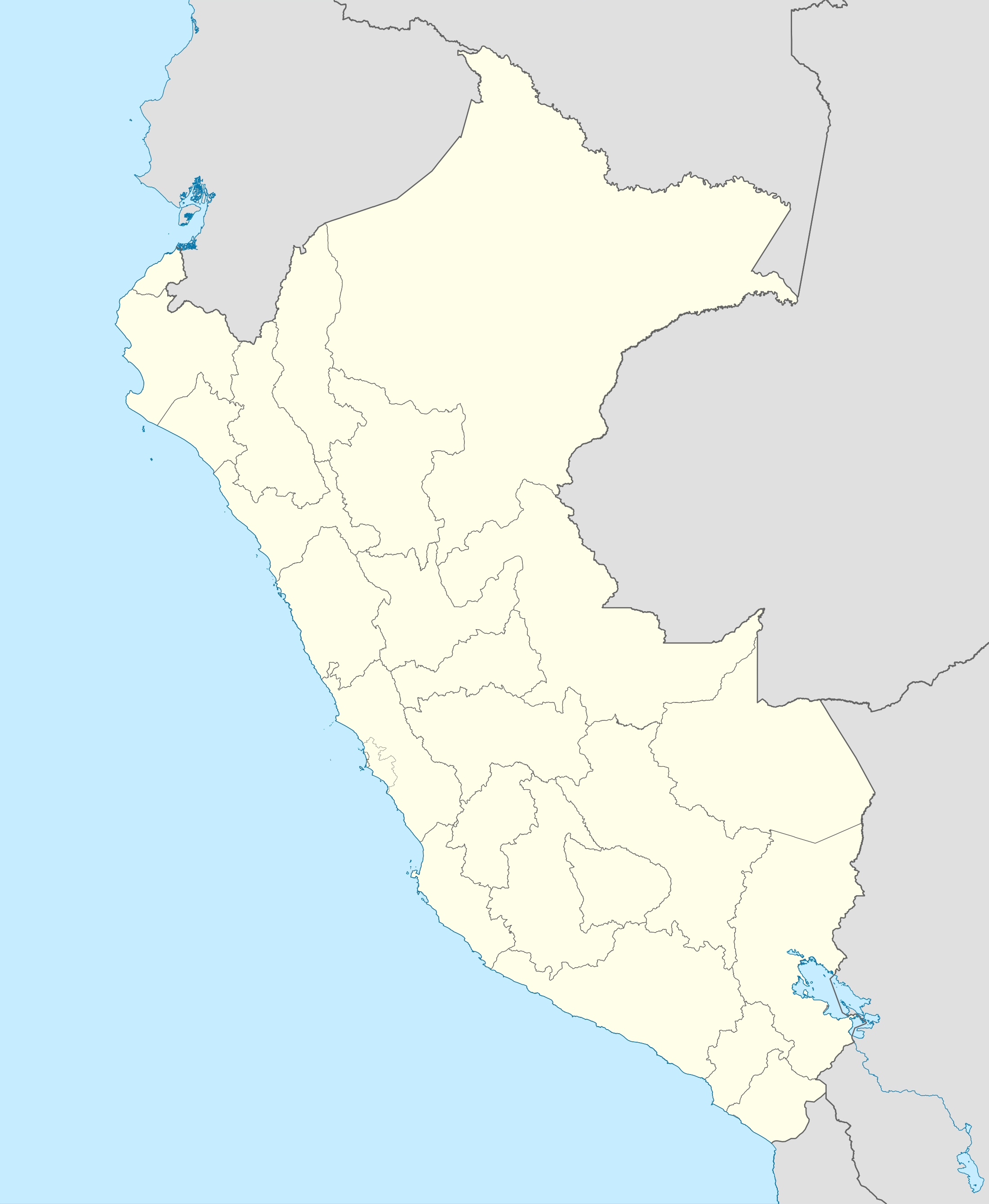
English: Blank political map of Peru
Equirectangular projection, Geographic limits of the map:
|
| ڕێکەوت | (UTC) |
| سەرچاوە | Peru_-_(Template).svg |
| بەرھەمھێنەر | User:Spischot |
.svg)
| This is a retouched picture, which means that it has been digitally altered from its original version. Modifications: Changed style to conform location maps 2008. The original can be viewed here: Peru - (Template).svg:
|
مۆڵەتنامە
من، ھەڵگری مافی لەبەرگرتنەوەی ئەم بەرھەمە، لەژێر ئەم مۆڵەتنامەیەدا بڵاوی دەکەمەوە:
ئەم پەڕگەیە لە ژێر مۆڵەتنامەی
Creative Commons Attribution-Share Alike 3.0 Unported دایە.
- تۆ ئازادی:
- بۆ بڵاکردنەوە – بۆ کۆپی کردن، دابەشکردن و دەستبەدەست ناردنی
- بۆ تێکەڵکردنەوە – بۆ سازاندنی کارەکە
- بەم مەرجانەی خوارەوە:
- دانەپاڵ – پێویستە باوەڕی گونجاو بدەیت، بەستەرێک بۆ مۆڵەتەکە دابین بکەیت و ئاماژە بەوە بکەیت کە ئایا گۆڕانکاری کراوە یان نا. دەتوانیت بە هەر شێوەیەکی گونجاو ئەوە بکەیت، بەڵام بە شێوەیەک نا کە وا دەربکەوێت کە مۆڵەتدەر پشتگیری تۆ یان بەکارهێنانەکەت بکات.
- بڵاوکردنەوەی گونجاو – ئەگەر لەسەر بنەمای ئەم کارە تێکەڵ، گۆڕان، یان ساز بکەی، پێویستە بەشدارییەکانت بە هەمان مۆڵەت یان هاوشێوەی مۆڵەتی ئەسڵی دابەش بکەی.
Original upload log
This image is a derivative work of the following images:
- File:Peru_-_(Template).svg licensed with Cc-by-sa-3.0
- 2009-07-21T07:54:54Z Huhsunqu 820x1000 (1674312 Bytes) detail map
- 2009-07-15T06:39:44Z Huhsunqu 820x1000 (1396540 Bytes) ANCHOS
- 2009-07-06T05:07:34Z Huhsunqu 820x1000 (1398457 Bytes) {{Information |Description={{en|1=Blank political map of Perú}} {{es|1=Mapa plantilla de las regiones y departamentos del Perú.}} |Source=trabajo propio (own work) |Author=[[User:Huhsunqu|Huhsunqu]] |Date=2009-07-05 |Permis
Uploaded with derivativeFX
مێژووی پەڕگە
کرتە بکە لەسەر یەکێک لە ڕێکەوت/کاتەکان بۆ بینینی پەڕگەکە بەو شێوەی لەو کاتەدا بووە.
| ڕێکەوت/کات | ھێما | ئەندازە | بەکارھێنەر | تێبینی | |
|---|---|---|---|---|---|
| هەنووکە | ٠٠:٥٢، ١٢ی ئازاری ٢٠٢٣ | | ٢٬٢٠٠ لە ٢٬٦٧٩ (١٥٫٧٢ مێگابایت) | Waterloo1883 | Corrección del marco izquierdo y disminución del grosor de los limites administrativos. |
| ٢٢:١٥، ٢٣ی کانوونی یەکەمی ٢٠٢٠ |  | ١٬٠٣٣ لە ١٬٢٥٨ (١٣٫٧٨ مێگابایت) | Waterloo1883 | Límites departamentales actuales. | |
| ١٩:٢٠، ١ی ئایاری ٢٠١٨ |  | ٨٢٠ لە ١٬٠٠٠ (٧٧٧ کیلۆبایت) | Janitoalevic | Fixed size | |
| ١٨:٥٤، ١ی ئایاری ٢٠١٨ |  | ٨٧٥ لە ١٬٠٦٧ (٧٧٥ کیلۆبایت) | Janitoalevic | *Fixed coastline, international and internal borders. *Added San Lorenzo island *Better Lake Titicaca | |
| ٢١:٣٣، ٢٣ی تشرینی یەکەمی ٢٠٠٩ |  | ٨٢٠ لە ١٬٠٠٠ (٨٠٧ کیلۆبایت) | Spischot | {{Information |Description={{en|1=Blank political map of en:Peru}} Equirectangular projection, Geographic limits of the map: * N: 0.73° N * S: 19.36° S * W: 83.25° W * E: 66.75° W |Source=*File:Peru_-_(Template).svg |Date=2009-10-23 21:27 |
.svg)
بەکارھێنانی پەڕگە
ئەم پەڕەیە ئەم پەڕگەیە بەکار دەھێنێت:
بەکارھێنانی سەرانسەریی پەڕگە
ئەم ویکیانەی دیکەی خوارەوەش ئەم پەڕگە بەکاردێنن:
- بەکارھێنان لە af.wikipedia.org
- بەکارھێنان لە an.wikipedia.org
- بەکارھێنان لە ar.wikipedia.org
- بەکارھێنان لە ast.wikipedia.org
- Llagu Titicaca
- Ríu Amazones
- Lima
- Rumicolca
- Base aérea El Pato
- Concepción (Perú)
- Ríu Apurímac
- Mismi
- Ríu Madre de Dios
- Cuzco
- Sacsayhuamán
- Jenaro Herrera (Perú)
- Palaciu Llexislativu del Perú
- La Rinconada (Perú)
- Santuariu históricu de Machu Picchu
- Tabayones les Trés Hermanes
- Tabayón Yumbilla
- Catarata Gocta
- Huandoy
- Huascarán
- Yerupajá
- Módulu:Mapa de llocalización/datos/Perú
- Módulu:Mapa de llocalización/datos/Perú/usu
- Copa América 2004
- Campeonatu Descentralizáu 2018
- Callao
- Universidá Inca Garcilaso de la Vega
- Aeropuertu Alf. FAP David Figueroa Fernandini
- Aeropuertu Cadete FAP Guillermo del Castillo Paredes
- Aeropuertu Capitán FAP Renán Elías Olivera
- Aeropuertu Francisco Carlé
- Aeropuertu Internacional Alejandro Velasco Astete
- Aeropuertu Internacional Capitán FAP José A. Quiñones
- Aeropuertu Internacional Coronel FAP Carlos Ciriani Santa Rosa
- Aeropuertu Internacional Inca Manco Cápac
بینینی بەکارھێنانی گشتی زیاتری ئەم پەڕگەیە.