
پەڕگە:Kiribati relief location map.jpg
قەبارەی ئەم پێشبینینە: ٨٠٠ لە ٣٦٢ پیکسەڵ. ڕێزەلووشنەکانی تر: ٣٢٠ لە ١٤٥ پیکسەڵ | ٦٤٠ لە ٢٨٩ پیکسەڵ | ١٬٤٨٨ لە ٦٧٣ پیکسەڵ.
پەڕگەی سەرەکی (١٬٤٨٨ × ٦٧٣ پیکسڵ، قەبارەی پەڕگە: ٦٤٧ کیلۆبایت، جۆری ئێم ئای ئێم ئی: image/jpeg)
کورتە
| وەسف | |
| ڕێکەوت | |
| سەرچاوە | بەرھەمی خۆم |
| بەرھەمھێنەر | Uwe Dedering |
| وەشانەکانی تر |
|

مۆڵەتنامە
من، ھەڵگری مافی لەبەرگرتنەوەی ئەم بەرھەمە، لەژێر ئەم مۆڵەتنامەیەدا بڵاوی دەکەمەوە:
ئەم پەڕگەیە لە ژێر مۆڵەتنامەی
Creative Commons Attribution-Share Alike 3.0 Unported دایە.
- تۆ ئازادی:
- بۆ بڵاکردنەوە – بۆ کۆپی کردن، دابەشکردن و دەستبەدەست ناردنی
- بۆ تێکەڵکردنەوە – بۆ سازاندنی کارەکە
- بەم مەرجانەی خوارەوە:
- دانەپاڵ – پێویستە باوەڕی گونجاو بدەیت، بەستەرێک بۆ مۆڵەتەکە دابین بکەیت و ئاماژە بەوە بکەیت کە ئایا گۆڕانکاری کراوە یان نا. دەتوانیت بە هەر شێوەیەکی گونجاو ئەوە بکەیت، بەڵام بە شێوەیەک نا کە وا دەربکەوێت کە مۆڵەتدەر پشتگیری تۆ یان بەکارهێنانەکەت بکات.
- بڵاوکردنەوەی گونجاو – ئەگەر لەسەر بنەمای ئەم کارە تێکەڵ، گۆڕان، یان ساز بکەی، پێویستە بەشدارییەکانت بە هەمان مۆڵەت یان هاوشێوەی مۆڵەتی ئەسڵی دابەش بکەی.
مێژووی پەڕگە
کرتە بکە لەسەر یەکێک لە ڕێکەوت/کاتەکان بۆ بینینی پەڕگەکە بەو شێوەی لەو کاتەدا بووە.
| ڕێکەوت/کات | ھێما | ئەندازە | بەکارھێنەر | تێبینی | |
|---|---|---|---|---|---|
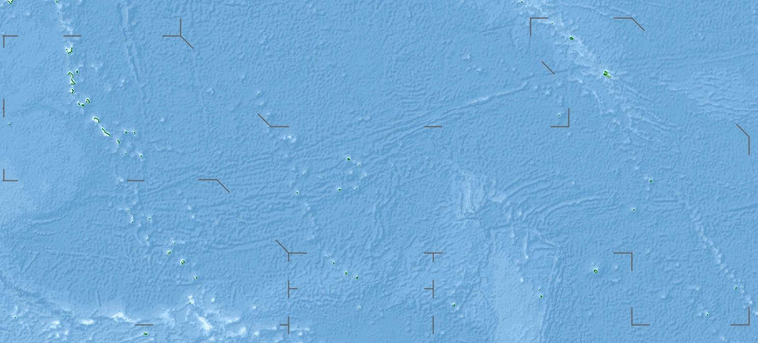
| هەنووکە | ١٦:٠٤، ٢٣ی نیسانی ٢٠١٠ | | ١٬٤٨٨ لە ٦٧٣ (٦٤٧ کیلۆبایت) | Uwe Dedering | {{Information |Description={{en|1=Location map of Kiribati}} Equirectangular projection. Geographic limits of the map: * N: 6° N * S: 13° S * W: 169° E * E: 149° W Made with Natural Earth. Free vector and raster map data @ n |
بەکارھێنانی پەڕگە
ئەم پەڕەیە ئەم پەڕگەیە بەکار دەھێنێت:
بەکارھێنانی سەرانسەریی پەڕگە
ئەم ویکیانەی دیکەی خوارەوەش ئەم پەڕگە بەکاردێنن:
- بەکارھێنان لە als.wikipedia.org
- بەکارھێنان لە ar.wikipedia.org
- بەکارھێنان لە ast.wikipedia.org
- بەکارھێنان لە az.wikipedia.org
- بەکارھێنان لە ba.wikipedia.org
- بەکارھێنان لە be.wikipedia.org
- بەکارھێنان لە bg.wikipedia.org
- بەکارھێنان لە bh.wikipedia.org
- بەکارھێنان لە bn.wikipedia.org
- بەکارھێنان لە bs.wikipedia.org
- بەکارھێنان لە ceb.wikipedia.org
- بەکارھێنان لە ce.wikipedia.org
- بەکارھێنان لە cs.wikipedia.org
- بەکارھێنان لە de.wikipedia.org
- Kiritimati
- Bairiki
- Tabuaeran
- Teraina
- Malden (Insel)
- McKean (Kiribati)
- Enderbury
- Birnie
- Manra
- Rawaki
- Starbuck (Insel)
- Vostok (Insel)
- Flint (Insel)
- Buariki (Aranuka)
- Wikipedia:Kartenwerkstatt/Positionskarten/Australien und Ozeanien
- Vorlage:Positionskarte Kiribati Gilbertinseln
- Benutzer:Uwe Dedering
- Vorlage:Positionskarte Kiribati
- Vorlage:Positionskarte Kiribati Kiritimati
- Washington Lake
- Wikipedia:Fragen zur Wikipedia/Archiv/2016/Woche 24
- Takaeang
- Buariki (Kuria)
- Oneeke
بینینی بەکارھێنانی گشتی زیاتری ئەم پەڕگەیە.