
پەڕگە:Ghana physical map.svg

Size of this PNG preview of this SVG file: ٤٤٣ لە ٦٠٠ پیکسەڵ. ڕێزەلووشنەکانی تر: ١٧٧ لە ٢٤٠ پیکسەڵ | ٣٥٤ لە ٤٨٠ پیکسەڵ | ٥٦٧ لە ٧٦٨ پیکسەڵ | ٧٥٦ لە ١٬٠٢٤ پیکسەڵ | ١٬٥١٣ لە ٢٬٠٤٨ پیکسەڵ | ٨٥١ لە ١٬١٥٢ پیکسەڵ.
پەڕگەی سەرەکی (پەڕگەی SVG، بە ناو ٨٥١ × ١٬١٥٢ پیکسەڵ، قەبارەی پەڕگە: ١٫٣٣ مێگابایت)
کورتە
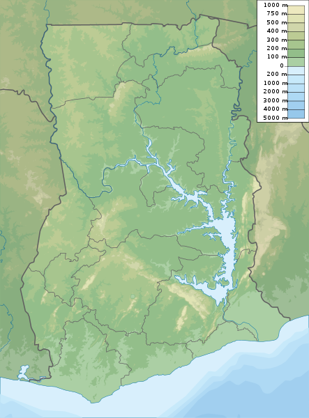
| وەسف | Ghana physical map, parameters equal to File:Ghana location map.svg |
| ڕێکەوت | |
| سەرچاوە | بەرھەمی خۆم |
| بەرھەمھێنەر | Urutseg |
مۆڵەتنامە
من، ھەڵگری مافی لەبەرگرتنەوەی ئەم بەرھەمە، لەژێر ئەم مۆڵەتنامەیەدا بڵاوی دەکەمەوە:
| This file is made available under the Creative Commons CC0 1.0 Universal Public Domain Dedication. | |
| The person who associated a work with this deed has dedicated the work to the public domain by waiving all of their rights to the work worldwide under copyright law, including all related and neighboring rights, to the extent allowed by law. You can copy, modify, distribute and perform the work, even for commercial purposes, all without asking permission.
|
مێژووی پەڕگە
کرتە بکە لەسەر یەکێک لە ڕێکەوت/کاتەکان بۆ بینینی پەڕگەکە بەو شێوەی لەو کاتەدا بووە.
| ڕێکەوت/کات | ھێما | ئەندازە | بەکارھێنەر | تێبینی | |
|---|---|---|---|---|---|
| هەنووکە | ٢٢:١٤، ١٦ی کانوونی یەکەمی ٢٠١٩ | | ٨٥١ لە ١٬١٥٢ (١٫٣٣ مێگابایت) | NordNordWest | upd |
| ١٨:٠٥، ١٦ی ئازاری ٢٠١١ |  | ٨٥١ لە ١٬١٥٢ (١٫٢٧ مێگابایت) | Urutseg |
بەکارھێنانی پەڕگە
ئەم پەڕەیە ئەم پەڕگەیە بەکار دەھێنێت:
بەکارھێنانی سەرانسەریی پەڕگە
ئەم ویکیانەی دیکەی خوارەوەش ئەم پەڕگە بەکاردێنن:
- بەکارھێنان لە als.wikipedia.org
- بەکارھێنان لە ar.wikipedia.org
- بەکارھێنان لە arz.wikipedia.org
- بەکارھێنان لە ast.wikipedia.org
- بەکارھێنان لە azb.wikipedia.org
- بەکارھێنان لە az.wikipedia.org
- بەکارھێنان لە ba.wikipedia.org
- بەکارھێنان لە be.wikipedia.org
- بەکارھێنان لە bg.wikipedia.org
- بەکارھێنان لە bn.wikipedia.org
- بەکارھێنان لە bs.wikipedia.org
- بەکارھێنان لە ca.wikipedia.org
- بەکارھێنان لە ceb.wikipedia.org
- بەکارھێنان لە ce.wikipedia.org
- بەکارھێنان لە cs.wikipedia.org
- بەکارھێنان لە da.wikipedia.org
- بەکارھێنان لە de.wikipedia.org
- Ghana
- Fort Groß Friedrichsburg
- Volta-Stausee
- Christiansborg (Accra)
- Bosumtwi
- Afadjato
- Kap der drei Spitzen
- Mole-Nationalpark
- Digya-Nationalpark
- Bia-Tawaya-Nationalpark
- Dzebobo
- Streitkräfte Ghanas
- Vorlage:Positionskarte Ghana
- Akwawa
- Portal:Ghana/Galerie/Grafiken
- Wikipedia:Kartenwerkstatt/Positionskarten/Afrika
بینینی بەکارھێنانی گشتی زیاتری ئەم پەڕگەیە.